
Imagery
Powering a New Era of Geospatial Intelligence

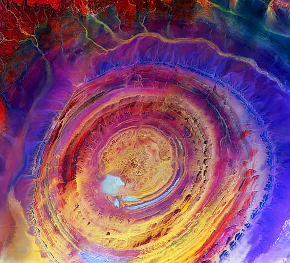
Imagery is no longer just a snapshot in time. It has become a living, evolving source of data that is transforming how we view and understand the world. Across industries such as government, business, science, and environmental management, imagery is helping decision-makers gain clarity and act with greater precision. Thanks to the rise of remote sensing tools including drones, satellites, and aircraft, we now capture more imagery than ever before. This explosion of data brings with it new potential to monitor, assess, and respond to change on a global scale.
